
 Digital Directory
한국어로 페이지 보기
Seoul ADEX 2025 Digital Directory
Plan your trip to Seoul ADEX 2025 using our state of the art Digital Directory
Register in seconds with just your email
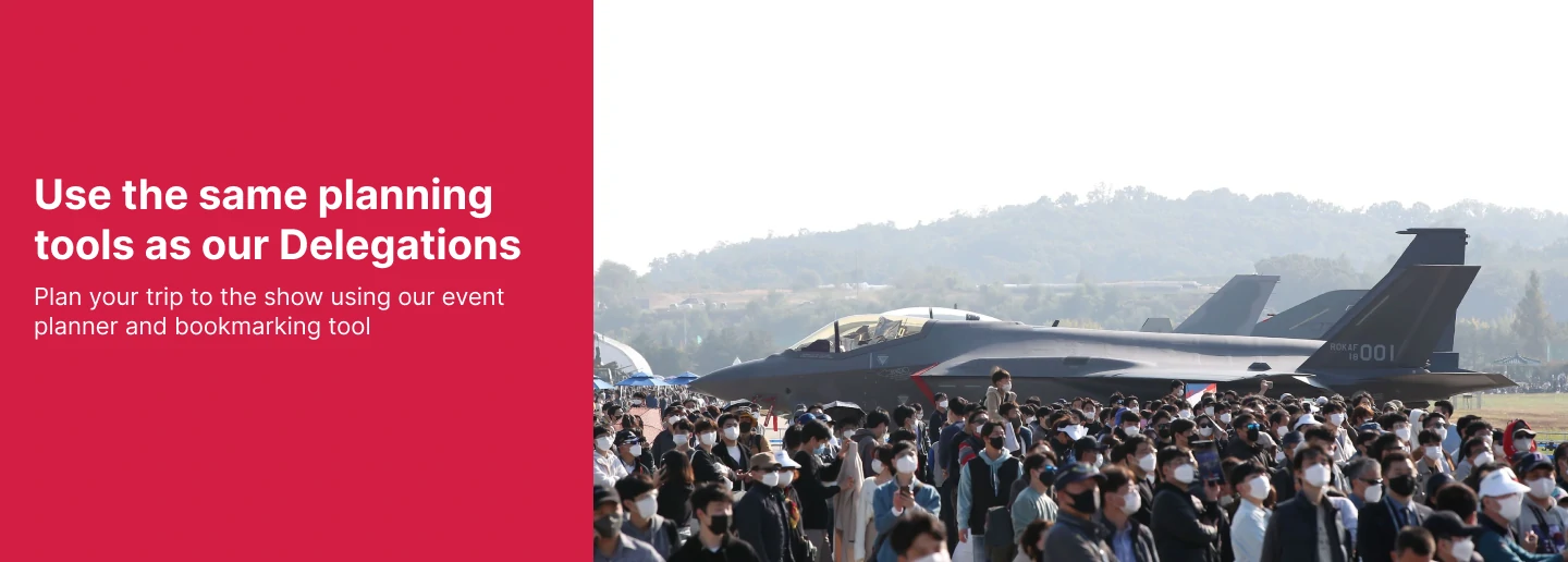
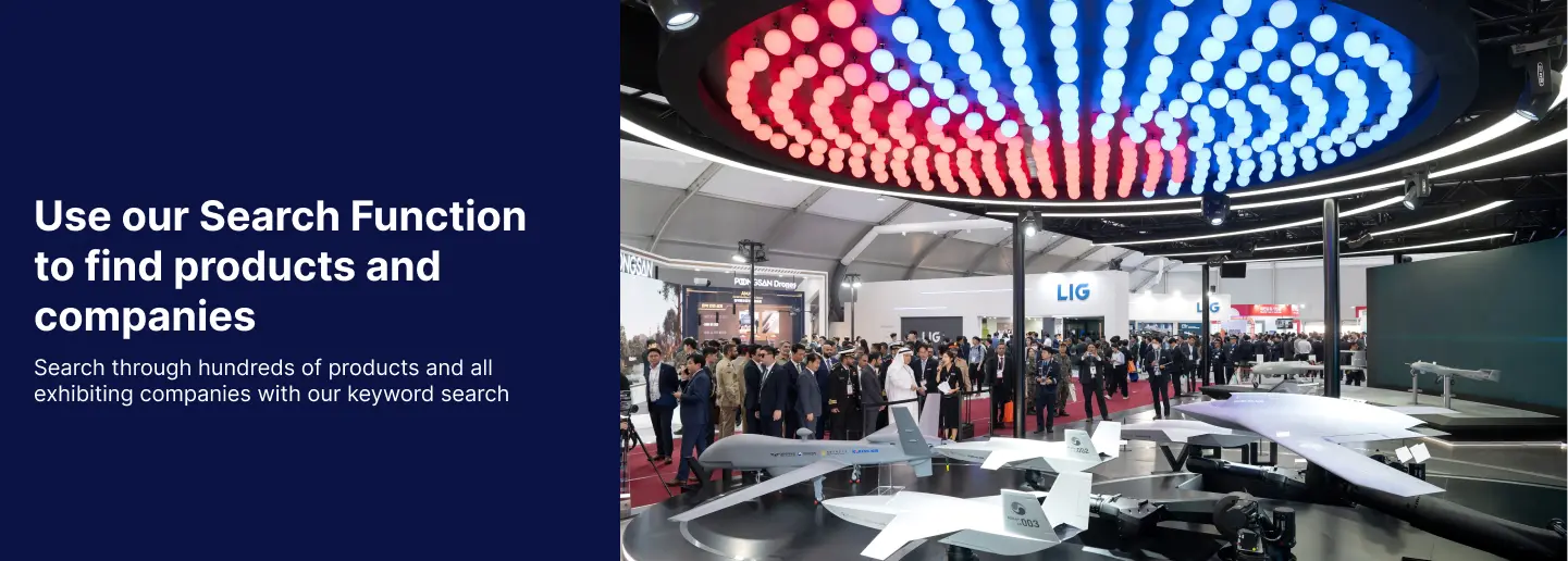
Directory Features
To help you at the show
In-depth Exhibitor Profiles
Each exhibitor can add as many products and services as they wish, with in-depth information and specifications. This allows buyers to find what they want easily.
Self Provisioning for Exhibitors
Each exhibitor has full control of their content - to edit their company profile, upload products and enter staff details.
Plan your trip
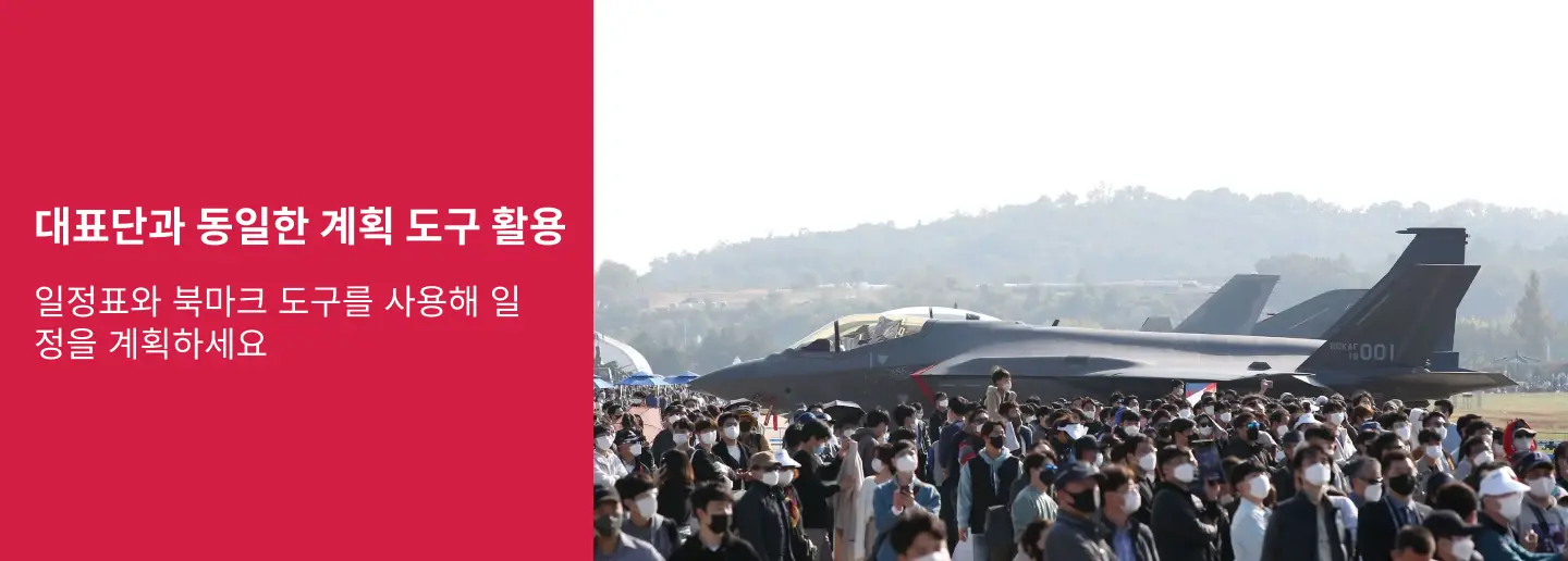
Use the bookmarking and event planning tool to research the companies you would like to visit and the products you are interested in finding. You will be able to locate all of your saved companies on our floorplan
Advanced Search
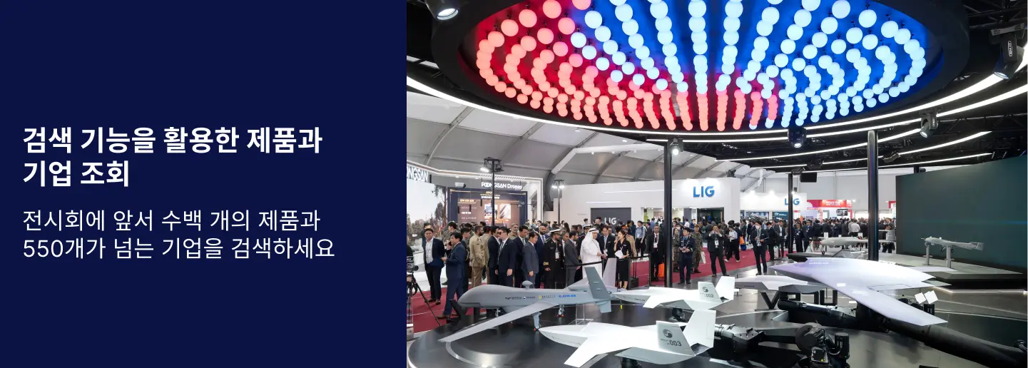
Utilize our advanced search function to quickly locate products, people, and companies. Our state-of-the-art technology thoroughly scans all exhibitor information, delivering precise and relevant results
Interactive Floorplan
Navigate the show effortlessly with our directory. Use the floorplan to locate companies you want to visit and to find your way to onsite restaurants, toilets and site entrances and exits.
On-platform Messaging
Reach out to exhibitors and visitors directly on our platform to set up meetings, or request more information.
Some of our latest content
Companies, Products, News, Events
_700.webp)
Korea Aviation Engineering & Maintenance Service, LTD.
Commercial MRO
1. KAEMS is capable of providing C~D level Heavy Checks & Painting with Repairing/Modification.
2. With optimized process KAEMS always ensures the outbound date with customers upon trust.
3. Current capability NB : B737/A320
Upcoming capability WB : B787/B777/A350
[Hangar]
- Base Maintenance Hangar : 4 Bay(B737 & A320)
- Back Shop : Sheet Metal & Composite & Avionic Shop + ETC Component shop
- Wash Bay : 1 Bay
- Paint shop : component & entire painting(B737/A320/A321)
[Customer]
- Korea Low Cost Carrier
- Cebu Pacific
- Peach Aviation
CBOL Corporation
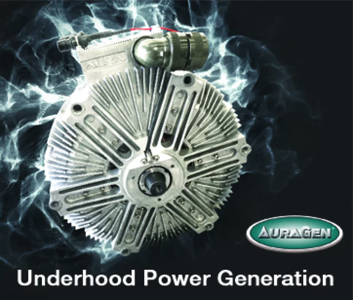
AuraGen Underhood Power Generator
AuraGen® ... Unlike a traditional generator, this induction power system fits under the hood of a vehicle and can generate enough pure sine wave electricity to handle your power needs.
The AuraGen's safety, reliability, portability, virtually silent operation, and convenience make it ideal for use during everyday commercial work or anywhere that conventional power is absent. No maintenance, no theft problems and no hazard for employees means higher productivity and higher profits.
The AuraGen® comes complete with the AuraGen® power source, electronics, idle control, and mounting bracket and provides an environmentally friendly alternative to heavy polluting gensets. AuraGen® is available for most fleets, municipal and work site vehicles as well as full-sized pickups and SUV's.
HANSCO
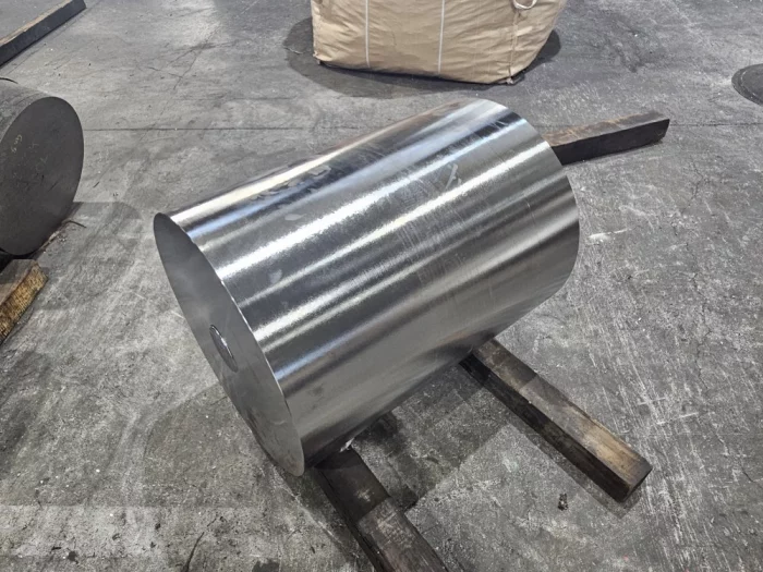
High-Purity Refined Titanium Ingots
Premium refined titanium ingots, manufactured using imported high-purity titanium sponge and subjected to a minimum of two VAR (Vacuum Arc Remelting) processes. Forged to meet customer requirements, available in various semi-finished forms (bar, plate, ring) for defense and display industries.
Korea Lost-wax Co., Ltd
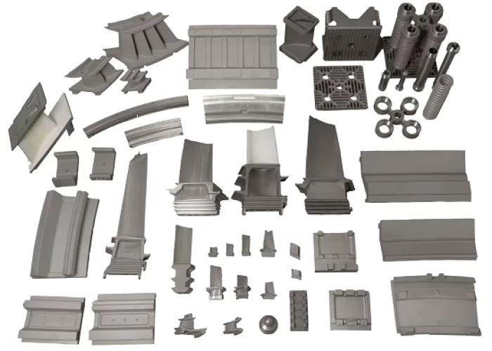
Power Generation Equipment
We are recognized domestically and internationally for our technology and quality by supplying products manufactured based on our accumulated know-how and excellent technology to power generation equipment companies at home and abroad.
View page in English
디렉터리 기능
전시회 도우미
In-depth Exhibitor Profiles
Each exhibitor can add as many products and services as they wish, with in-depth information and specifications. This allows buyers to find what they want easily.
Self Provisioning for Exhibitors
Each exhibitor has full control of their content - to edit their company profile, upload products and enter staff details.
방문 계획 수립
북마크 도구와 이벤트 플래너를 사용해 방문하고자 하는 기업과 관심 있는 제품을 검색하세요. 저장한 모든 항목을 조회할 수 있습니다
고급 검색
고급 검색 기능을 사용하여 상품, 인물, 기업의 위치를 빠르게 조회할 수 있습니다. 최첨단 기술을 통해 모든 참가사의 정보를 철저히 스캔하여 세밀하고 관련성 있는 정보를 제공합니다
상호작용 가능 평면도
디렉터리를 사용해 전시회를 손쉽게 둘러보세요. 방문하고자 하는 기업의 위치와, 행사장 내 식당, 화장실, 출입구를 평면도에서 찾을 수 있습니다.
플랫폼 내 메시지
플랫폼 상의 전시 참가사와 관람객에게 직접 연락하여 미팅을 신청하거나 추가 정보를 요청하세요.
최신 콘텐츠
기업, 상품, 뉴스, 이벤트
 VME-C7H SBC_250909_700.webp)
COTS Technology
(COTS) VME-C7H SBC
- Form factor: 6U VME64x
- Processor: Intel® E3-1505Lv6
2.2GHz
4 Cores and 8 Threads
- Memory: 16,000MB DDR4 SDRAM w/ECC, (1) 73GB up NVMe SSD
_700.webp)
Invictum
UPS
This Military Field-Grade Uninterruptible Power Supply units are designed for the extreme environmental and demanding electrical conditions of Military/Aerospace applications. This UPS incorporates field proven high efficiency designs and rugged packaging technologies. This UPS units will accept a wide range of input voltage and frequency values while delivering a well-conditioned AC or DC output to the load.
The use of lithium ion batteries permits the lowest profile and lowest weight solution in its power class. It is designed and manufactured in SynQor’s USA facilities to comply with a wide range of military standards. Options include two DC outputs, a DC input rated for military 28 VDC sources, and an electronic breaker on the AC output to permit fault-tolerant parallel operation for higher power and/or N+M systems.
HYTEC INTER KOREA Co., Ltd
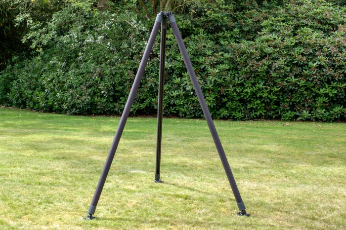
Rolatube Tripods
Rolatube Tripods are purpose-built for applications where mobility, speed, and performance matter. Constructed from Rolatube’s patented rollable composite material, each tripod offers a durable yet lightweight structure that rolls or folds down for easy transport and storage.
Designed to support a range of payloads and mission profiles, the lineup includes the highly portable System 30, versatile Industrial Compact Tripod, and robust System 50 Tripod MIL for demanding field operations.
These tripods are engineered for rapid deployment and compatible with Rolatube masts or other payloads requiring stable elevation. Their corrosion-resistant build, compact footprint, and tool-free setup make them ideal for communication, surveillance, and sensor support across defence, emergency response, and industrial sectors.
Syscom Korea Co., Ltd.
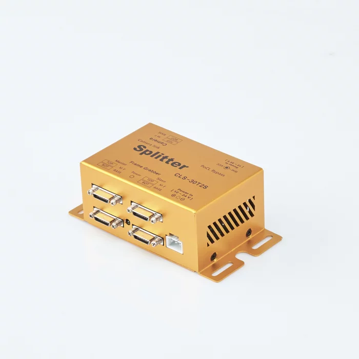
1:2 Camera link Splitter CLS-30T2S , Base/Medium/Full configuration
The maximum transmission distance varies based on the following frequency-related specifications.
Camera Frequency Max Cable Length
================ ===============
20 ~ 60 MHz 10 m
60 ~ 80 MHz 7 m
80 ~ 85 MHz 5 m
In cases where a single PC cannot handle large amounts of image data, it becomes necessary to duplicate the image and use multiple PCs for processing. A splitter is required in such scenarios.
The CLS-30T2S amplifies and transmits image signals from a single camera to up to two PCs, supporting Base/Medium/Full configurations (10 Taps supported).
The Master side transmits RS232 and CC1~4 signals, while the Slave side replicates and transmits image signals only.