한국어로 페이지 보기
Seoul ADEX 2025 Digital Directory
Plan your trip to Seoul ADEX 2025 using our state of the art Digital Directory
Register in seconds with just your email


Directory Features
To help you at the show
In-depth Exhibitor Profiles
Each exhibitor can add as many products and services as they wish, with in-depth information and specifications. This allows buyers to find what they want easily.
Self Provisioning for Exhibitors
Each exhibitor has full control of their content - to edit their company profile, upload products and enter staff details.
Plan your trip
Use the bookmarking and event planning tool to research the companies you would like to visit and the products you are interested in finding. You will be able to locate all of your saved companies on our floorplan
Advanced Search
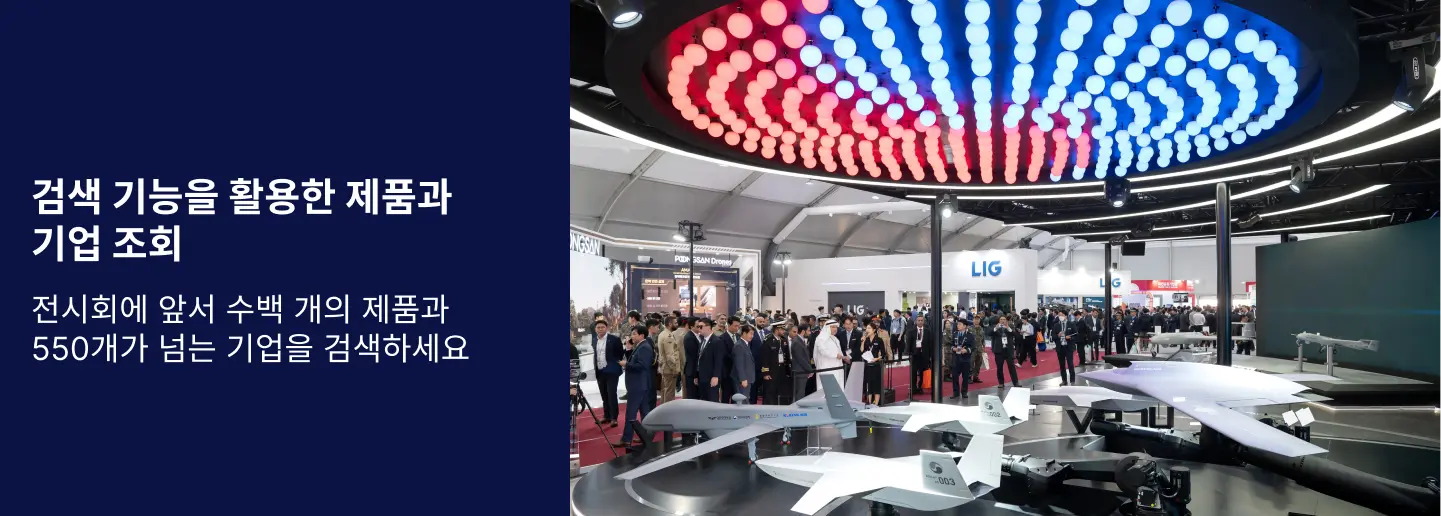
Utilize our advanced search function to quickly locate products, people, and companies. Our state-of-the-art technology thoroughly scans all exhibitor information, delivering precise and relevant results
Interactive Floorplan
Navigate the show effortlessly with our directory. Use the floorplan to locate companies you want to visit and to find your way to onsite restaurants, toilets and site entrances and exits.
On-platform Messaging
Reach out to exhibitors and visitors directly on our platform to set up meetings, or request more information.
Some of our latest content
Companies, Products, News, Events
KMT
Remote control and monitoring ground control system
Users can utilize and control autonomous drone services, including mission area setting, automatic dispatch instructions, real-time status checks, and return and charging confirmation, through the control program. This allows for the effective collection of various data, including minimizing manpower, improving accuracy, and responding to emergency situations.
German Aerospace Center (DLR)
Neustrelitz Receiving Station
Neustrelitz is located 100 kilometres north of Berlin. Here, DLR receives data from the German radar missions TerraSAR-X and TanDEM-X, the KOMPSAT satellites of the Korean Aerospace Research Institute (KARI), the European Sentinel fleet and the American Landsat series, among others. The multi-antenna and multi-mission configuration of the ground station allows information products to be delivered to customers within minutes after data reception. These include products for national and European authorities for maritime safety, such as wind and sea state estimates, ice classification, ship navigation through ice-covered waters, detection of navigation irregularities or oil spills as well as the space weather. The Neustrelitz ground station offers data reception in the S, X, and Ka bands as well as data uplink in the S and X bands.
MTG
Near-Field Measurement System
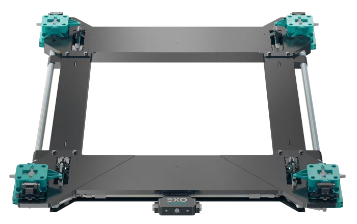
Near-field Ranges calculate Far-field pattern based on amplitudes and phase samples in radiating near-field region mathematically. Near-field Ranges have various testing configurations-planar, cylindrical and spherical. Planar Near-field range is suitable for directional antennas. Cylindrical Near-field range is suitable for antennas with wide side/back lobes and fan beam antennas. Spherical Near-field Range is suitable for any type of antennas. You can choose reasonably defending your conditions. MTG has many experience supplying Far-field ranges as well as Near-field ranges. MTG work with many companies including munitions industries, laboratories, telecommunication corporations, and antenna corporations. We can provide a series of positioner, probes and Near-field measurement software.
SM CNS
Tracking Radars
Weibel’s Doppler 3D tracking radars are designed for precise measurements of free-flying objects such as projectiles, artillery rounds, and rockets. The systems are highly effective for detailed debris tracking, range safety tests, missile tests, and space launches.
Weibel’s tracking radars are phased array X-band CW, MFCW and FMCW radar systems consisting of state of the art phased array Doppler radar antennas, high performance pedestals, real-time multi-object tracking processors and state of the art waveform generators, all controlled from the operator console.
View page in English


디렉터리 기능
전시회 도우미
In-depth Exhibitor Profiles
Each exhibitor can add as many products and services as they wish, with in-depth information and specifications. This allows buyers to find what they want easily.
Self Provisioning for Exhibitors
Each exhibitor has full control of their content - to edit their company profile, upload products and enter staff details.
방문 계획 수립
북마크 도구와 이벤트 플래너를 사용해 방문하고자 하는 기업과 관심 있는 제품을 검색하세요. 저장한 모든 항목을 조회할 수 있습니다
고급 검색
고급 검색 기능을 사용하여 상품, 인물, 기업의 위치를 빠르게 조회할 수 있습니다. 최첨단 기술을 통해 모든 참가사의 정보를 철저히 스캔하여 세밀하고 관련성 있는 정보를 제공합니다
상호작용 가능 평면도
디렉터리를 사용해 전시회를 손쉽게 둘러보세요. 방문하고자 하는 기업의 위치와, 행사장 내 식당, 화장실, 출입구를 평면도에서 찾을 수 있습니다.
플랫폼 내 메시지
플랫폼 상의 전시 참가사와 관람객에게 직접 연락하여 미팅을 신청하거나 추가 정보를 요청하세요.
최신 콘텐츠
기업, 상품, 뉴스, 이벤트
EO System
Multi-Function Observation Device
THETIS-C is a compact multifunction thermal imaging system that provides soldiers with an advanced, light weight solution for day and night reconnaissance, surveillance and forward observation purposes.
It also gives the blue forces a real-time target acquisition and target coordinate calculation capabilities.
Thermal Camera + Day CMOS Camera + Direct View Optic + Laser Range Finder + Digital Magnetic Compass + GPS
SensorTech Inc.
Fixed Chemical Agent Detector
o Detection substances
Nerve: GA, GB, GD, GF, VX
Blister: HD, HN3, L
o Detection concentration
G : ≤ 0.1㎎/㎥, ≤ 30 s
VX : ≤ 0.04㎎/㎥, ≤ 30 s
Blisters: ≤ 2.0mg/㎥, ≤ 30 s
o Size: 185×165×285 mm
o Weight: 4.5 kg or less
NINANO COMPANY INC.
HARPIA
It is capable of carrying heavy payloads, making it suitable for transporting critical supplies and equipment. The system supports swarm operations, enabling coordinated missions with multiple drones. Its robust design allows flexible deployment across diverse military scenarios, enhancing operational efficiency and resilience.
funzin
EagleEye
Solution Overview
EagleEye is a a synthetic data generation & management platform for AI training that integrates image generation, LLMOps, and MLOps. It automates high‑quality dataset generation, labeling, and model validation—and has been certified “military suitable” and delivered first to the ROK Army AI Center.
Main Features
Image generation with text/image prompts; object/background customization
LLMOps: prompt understanding + image–text labeling workflow
MLOps: CV model training/validation, dataset versioning, experiment tracking
End‑to‑end pipeline from data preprocessing to model deployment
Data augmentation and management for scalable, repeatable training
Key Advantages
Certified “military suitable”; meets defense operational requirements
First AI solution supplied to the ROK Army AI Center, proving reliability
One‑stop synthetic data + model ops cuts development/validation time
Fully in‑house stack enables rapid updates and mission‑tailored customization
2025: First AI product delivered to the ROK Army AI Center for defense AI projects
Used to generate and manage high-quality synthetic imagery for military AI model training and validation
Digital Directory