
 Digital Directory
한국어로 페이지 보기
Seoul ADEX 2025 Digital Directory
Plan your trip to Seoul ADEX 2025 using our state of the art Digital Directory
Register in seconds with just your email



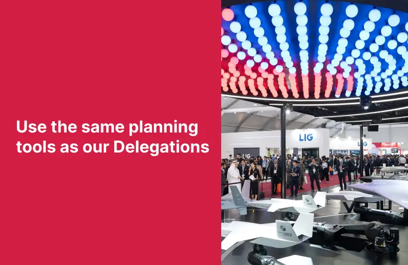
Directory Features
To help you at the show
In-depth Exhibitor Profiles
Each exhibitor can add as many products and services as they wish, with in-depth information and specifications. This allows buyers to find what they want easily.
Self Provisioning for Exhibitors
Each exhibitor has full control of their content - to edit their company profile, upload products and enter staff details.
Plan your trip
Use the bookmarking and event planning tool to research the companies you would like to visit and the products you are interested in finding. You will be able to locate all of your saved companies on our floorplan
Advanced Search
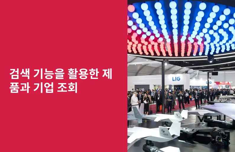
Utilize our advanced search function to quickly locate products, people, and companies. Our state-of-the-art technology thoroughly scans all exhibitor information, delivering precise and relevant results
Interactive Floorplan
Navigate the show effortlessly with our directory. Use the floorplan to locate companies you want to visit and to find your way to onsite restaurants, toilets and site entrances and exits.
On-platform Messaging
Reach out to exhibitors and visitors directly on our platform to set up meetings, or request more information.
Some of our latest content
Companies, Products, News, Events
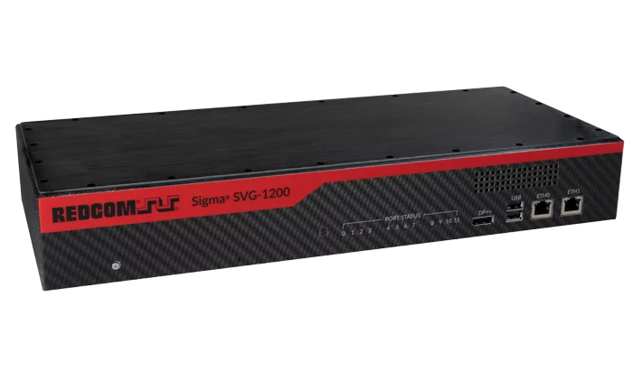
REDCOM Laboratories, Inc.
REDCOM Secure Voice Gateway Type-1 NSA ACC-Compliant Gateway Using the GD Sectéra® Viper™ Secure Phone
A REDCOM SVG system consists of one or more REDCOM Sigma® SVG-1200 units and a series of standard production General Dynamics Sectéra vIPer phones. Each REDCOM SVG-1200 can interface with up to 12 vIPer phones, which act as voice encryptors for TDM or VoIP voice networks. The encryptors allow any line, trunk, or conference port to conduct secure voice communications with any SCIP-capable device. If more than 12 secure talk paths are required, multiple SVG-1200 units may be networked together.
_700.webp)
DUKSAN AETHERCT Co., Ltd.
High Pressure Tank (Type 4)
Application areas
Car: Passenger Car, LDV, MDV, HDV, Van, etc.
Other: Drone, Forklift, Ship, Train, Motorcycle, Heavy equipment, etc.
Transportation: Mobile station, Tube skid for transportation
_700.webp)
TelePIX Co., Ltd.
Chouette
A Very High Resolution (0.75 m GSD) and Wide-Field of View (24 km swath) optical payload under development. Designed for microsatellite integration, Chouette combines sub-meter detail with wide-area coverage, a unique balance that expands the scope of commercial EO applications beyond what current systems offer.
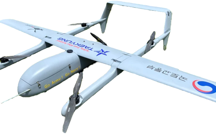
TAEKYUNG ELEC. Co., LTD.
e-VTOL-350
Our e-VTOL drone offers versatile vertical take-off and landing capabilities with precise and stable flight. Equipped with advanced sensors and real-time camera monitoring, it ensures safe and efficient operations in diverse environments.

View page in English

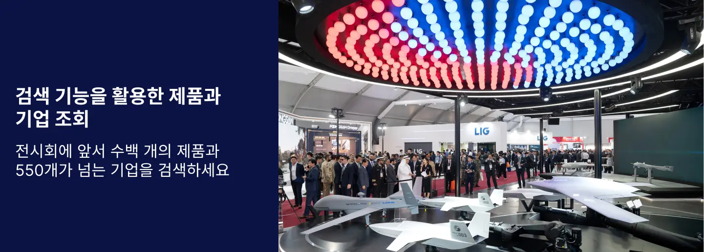

디렉터리 기능
전시회 도우미
In-depth Exhibitor Profiles
Each exhibitor can add as many products and services as they wish, with in-depth information and specifications. This allows buyers to find what they want easily.
Self Provisioning for Exhibitors
Each exhibitor has full control of their content - to edit their company profile, upload products and enter staff details.
방문 계획 수립
북마크 도구와 이벤트 플래너를 사용해 방문하고자 하는 기업과 관심 있는 제품을 검색하세요. 저장한 모든 항목을 조회할 수 있습니다
고급 검색
고급 검색 기능을 사용하여 상품, 인물, 기업의 위치를 빠르게 조회할 수 있습니다. 최첨단 기술을 통해 모든 참가사의 정보를 철저히 스캔하여 세밀하고 관련성 있는 정보를 제공합니다
상호작용 가능 평면도
디렉터리를 사용해 전시회를 손쉽게 둘러보세요. 방문하고자 하는 기업의 위치와, 행사장 내 식당, 화장실, 출입구를 평면도에서 찾을 수 있습니다.
플랫폼 내 메시지
플랫폼 상의 전시 참가사와 관람객에게 직접 연락하여 미팅을 신청하거나 추가 정보를 요청하세요.
최신 콘텐츠
기업, 상품, 뉴스, 이벤트
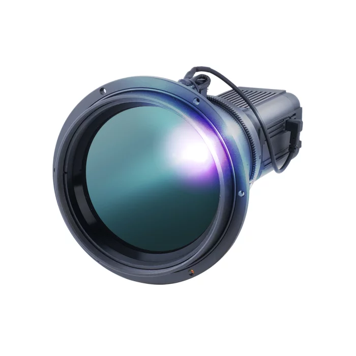
COX
CZ600IP
The CZ600IP is a high-performance un-cooled LWIR thermal camera engineered to deliver professional-grade imaging and system integration. With a 640x480 resolution and 12μm pixel pitch sensor, it provides exceptional clarity and detail, even in low-contrast environments. Its motorized focus and zoom control ensure smooth and accurate long-range observations, making it ideal for applications that demand both precision and flexibility. The camera’s wide temperature measurement range further enhances its utility, supporting reliable operation in industrial process monitoring, facility security, and advanced research projects.
Equipped with modern networking features, the CZ600IP supports Gigabit Ethernet connectivity, H.265/H.264 compression, and OnVif Profile S compliance, ensuring seamless integration with existing surveillance and monitoring systems. It also offers multi-streaming capabilities and advanced security protocols, allowing safe and efficient deployment in critical infrastructure. By combining robust imaging technology with flexible system compatibility, the CZ600IP stands out as a versatile solution that adapts to evolving customer needs while maintaining high reliability and accuracy.
Equipped with modern networking features, the CZ600IP supports Gigabit Ethernet connectivity, H.265/H.264 compression, and OnVif Profile S compliance, ensuring seamless integration with existing surveillance and monitoring systems. It also offers multi-streaming capabilities and advanced security protocols, allowing safe and efficient deployment in critical infrastructure. By combining robust imaging technology with flexible system compatibility, the CZ600IP stands out as a versatile solution that adapts to evolving customer needs while maintaining high reliability and accuracy.

Telcom International
NEWSPACE SYSTEM
With expertise in manufacturing guidance, navigation, and control (GNC) products, we have been used in over 2,000 spacecraft.
Adaptable for size, moment, and power to meet optimal system requirements.
Redundant windings available.
Current, speed, and torque control.
Simple digital interface to the spacecraft bus.
Hermetically sealed.
Long demonstrated lifetimes.
ISO 14644-1 state-of-the-art cleanroom facility.
ISO 9001:2015 certified.
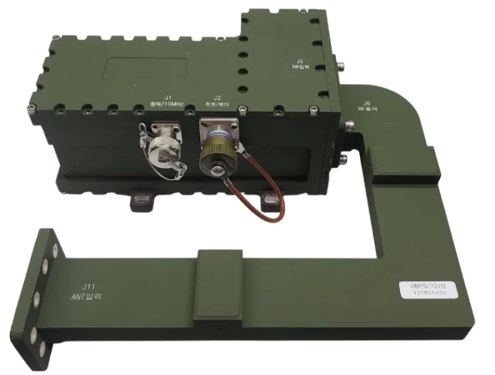
Eltronix Co., Inc
X-Band LNB
The X-band LNB is a satellite ground transport terminal that includes a transmission rejection filter and performs downconversion of X-band signals to IF using an internal reference frequency.
It features dustproof, moisture-proof, and waterproof protection, along with self-diagnostic functions such as a lock alarm.
The unit provides a total gain of over 60 dB and supports a wide bandwidth of 500 MHz.
Its frequency stability is maintained within 0.31 ppm.
.jpg)
Jonal Laboratories
Products
Temperature / Flame Resistant Seals
Reinforced & Non-Reinforced Seals
Vulcanized Bonding
Custom Technical Elastomeric Solutions