한국어로 페이지 보기
Seoul ADEX 2025 Digital Directory
Plan your trip to Seoul ADEX 2025 using our state of the art Digital Directory
Register in seconds with just your email


Directory Features
To help you at the show
In-depth Exhibitor Profiles
Each exhibitor can add as many products and services as they wish, with in-depth information and specifications. This allows buyers to find what they want easily.
Self Provisioning for Exhibitors
Each exhibitor has full control of their content - to edit their company profile, upload products and enter staff details.
Plan your trip
Use the bookmarking and event planning tool to research the companies you would like to visit and the products you are interested in finding. You will be able to locate all of your saved companies on our floorplan
Advanced Search
Utilize our advanced search function to quickly locate products, people, and companies. Our state-of-the-art technology thoroughly scans all exhibitor information, delivering precise and relevant results
Interactive Floorplan
Navigate the show effortlessly with our directory. Use the floorplan to locate companies you want to visit and to find your way to onsite restaurants, toilets and site entrances and exits.
On-platform Messaging
Reach out to exhibitors and visitors directly on our platform to set up meetings, or request more information.
Some of our latest content
Companies, Products, News, Events
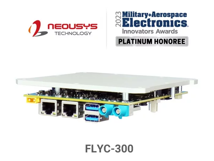
NeXber Co., Ltd.
FLYC-300 Series
Low Size, Weight and Power (SWaP) at only 297g.
Up to 100 TOPS GPU by NVIDIA® Jetson Orin™ NX
Supports multiple camera and sensor interfaces
2x GbE and 2x USB3 for RGB/ Infrared/ hyperspectral cameras and lidar/ radar
2x GMSL2 for HDR/ 3D cameras
Built-in UART and CAN to interact with flight controller
1x M.2 2230 for storage and 4G/5G communication ready
Supports 4S-14S drone battery pack
Compatible GMSL2 cameras with pre-built drivers
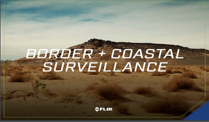
Teledyne FLIR LLC
Border Coastal Surveillance Brochure US
Border security and coastal surveillance are 24/7 operations that can’t afford downtime
or periods of reduced readiness. Guarding against illegal immigration, smuggling, and
terrorism demands reliable long-range threat detection and positive identification of
potential threats all day, all night, and in all conditions.
_700.webp)
B2 Solution Co., Ltd.
TMM-238, 23.8 Inch Military Monitor
TMM-238 is developed and designed for use in operator display for Militray systems.
It has 1920 x 1080 pixels visible resolution, which is designed and tailored for use in operator display for Militray systems
• 23.8”Inch display, 16:9 / 1920 x 1080 Resolution
• HDMI, DP, RGB, input
• Full Range Digital Dimming Control
• 6 Key Membrane Switch
• Power range : DC 24V Input
• LCD PANEL backlight unit : LCD Backlight units
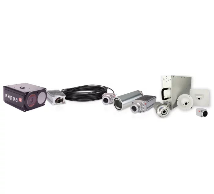
Kappa optronics GmbH
Smart IP-Based Aircraft Surveillance System
The cameras: state-of-the-art technology & smart functions Our cameras are equipped with stateof-the-art technology (e.g., newest CMOS sensors) and a range of advanced smart functions. The system is running smoothly and reliably at all flight altitudes, demonstrating resilience to aircraft-specific vibration. With high VIS sensitivity sensors and automatic IR illumination the cameras adapt perfectly to the ever-changing lighting conditions within the cabin and deliver crisp images up to Full-HD @ 30 fps. Integrated video motion detection / threat detection.
Intelligent recording: focus on the crucial moments In an ideal scenario, countless hours of streaming are completely uneventful.
Our smart video recorder combines loop recording with video detection motion.
With motion detection capabilities, the system intelligently identifies the critical moments and automatically removes eventless times from the recording. The focus on significant events (and the pre-event period) saves valuable storage space, while maximizing the potential of the recording system. That’s our formula for efficiency.
Subtle elegance: harmonizing cabin designs with unobtrusive cameras Aesthetics matter! We understand that our customers want to preserve the design integrity of their cabins. The true beauty of surveillance cameras lies in their seamless integration and unobtrusive presence., our cameras are designed for perfect blending into aircrafts interiors.
To minimize space requirements, a strong emphasis was on low weight and a compact form factor.
Cargo Surveillance
Thanks to integrated motion detection, all issues such as shifting cargo or blind passengers in the cargo hold are detected.
A significant safety improvement for commercial airliners as well as for air freighters.

View page in English


디렉터리 기능
전시회 도우미
In-depth Exhibitor Profiles
Each exhibitor can add as many products and services as they wish, with in-depth information and specifications. This allows buyers to find what they want easily.
Self Provisioning for Exhibitors
Each exhibitor has full control of their content - to edit their company profile, upload products and enter staff details.
방문 계획 수립
북마크 도구와 이벤트 플래너를 사용해 방문하고자 하는 기업과 관심 있는 제품을 검색하세요. 저장한 모든 항목을 조회할 수 있습니다
고급 검색
고급 검색 기능을 사용하여 상품, 인물, 기업의 위치를 빠르게 조회할 수 있습니다. 최첨단 기술을 통해 모든 참가사의 정보를 철저히 스캔하여 세밀하고 관련성 있는 정보를 제공합니다
상호작용 가능 평면도
디렉터리를 사용해 전시회를 손쉽게 둘러보세요. 방문하고자 하는 기업의 위치와, 행사장 내 식당, 화장실, 출입구를 평면도에서 찾을 수 있습니다.
플랫폼 내 메시지
플랫폼 상의 전시 참가사와 관람객에게 직접 연락하여 미팅을 신청하거나 추가 정보를 요청하세요.
최신 콘텐츠
기업, 상품, 뉴스, 이벤트

Telcom International
Ducommun
Founded in 1849, Ducommun is the oldest company in California, USA. Currently located in Carson, near Los Angeles, the company began as a hardware supply store in Los Angeles during the California Gold Rush and now designs and manufactures aerospace, RF coaxial switches, switch matrices, and millimeter-wave components.
- Microwave Products (available from DC to 46GHz SPST through the SP10T range)
- Switch Matrices (product design and customization to meet individual customer requirements)
- Ducommun RF products cover the DC range up to 110GHz
- Coaxial Switches available up to 40GHz
- Low Noise / High Power RF Products
- Space-Grade Products
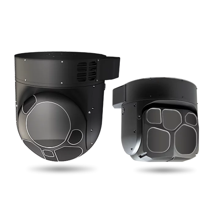
Teledyne FLIR LLC
Airborne Systems
With more than 3,000 EO/IR sensors on order or delivered, the Star SAFIRE® series provides the longest range performance in its class.
_700.webp)
AeroMaster Corporation (AMC)
ECMU
Monitors abnormal engine operation based on digital and analog signals from the aircraft engine.
It calculates engine life indices and detects engine malfunctions for generate a Pilot Fault List (PFL), which will stored in memory.
When an engine failure is detected, it provides warning for display on the Central Maintenance Panel (CMP).
Developed as a replacement for obsolete, achieving 60% cost competitiveness compared to equivalent products.
- x1 MIL-STD-1553B
- x16 Discrete Inout
- x14 Discrete Output
- x3 Analog Input
- x1 RS-232
- Size: 283 x 265 x 89 (mm)
- Weight : 4.1Kg
- Environment : MIL-STD-810G
- EMI/EMC : MIL-STD-461G
- Power : MIL-STD-704F (28VDC, 25W)
.jpg)
DOC - International Trade Administration
Aerospace & Defense Business Service Providers Directory Categories:
The Aerospace & Defense Team's Business Service Providers (BSP) Directory is designed to help U.S. aerospace & defense companies identify professional service providers to assist them in the assessment, completion, and/or financing of an export transaction.