한국어로 페이지 보기
Seoul ADEX 2025 Digital Directory
Plan your trip to Seoul ADEX 2025 using our state of the art Digital Directory
Register in seconds with just your email


Directory Features
To help you at the show
In-depth Exhibitor Profiles
Each exhibitor can add as many products and services as they wish, with in-depth information and specifications. This allows buyers to find what they want easily.
Self Provisioning for Exhibitors
Each exhibitor has full control of their content - to edit their company profile, upload products and enter staff details.
Plan your trip
Use the bookmarking and event planning tool to research the companies you would like to visit and the products you are interested in finding. You will be able to locate all of your saved companies on our floorplan
Advanced Search
Utilize our advanced search function to quickly locate products, people, and companies. Our state-of-the-art technology thoroughly scans all exhibitor information, delivering precise and relevant results
Interactive Floorplan
Navigate the show effortlessly with our directory. Use the floorplan to locate companies you want to visit and to find your way to onsite restaurants, toilets and site entrances and exits.
On-platform Messaging
Reach out to exhibitors and visitors directly on our platform to set up meetings, or request more information.
Some of our latest content
Companies, Products, News, Events

Saab
GlobalEye AEW&C
The most modern and capable airborne surveillance solution available in the market today, GlobalEye is a true multi-domain Airborne Early Warning & Control (AEW&C) solution. With its mix of modern active and passive sensors, it provides long-range, early detection and identification of objects in air, at sea and over land from a single platform and also can provide real-time information to units in the Air Force, Army and Navy. This enables situational awareness of the surrounding areas and early detection of threats.
LUMIR
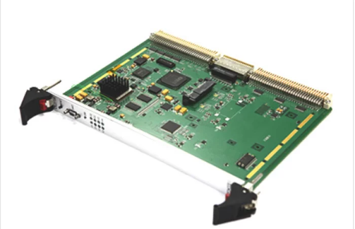
On-Board Computer, OBC
Lumir developed this new on-board computer in cooperation with Korea Aerospace Industries (KAI) for the CAS500-3 (technology verification satellite), which is scheduled to be launched aboard Korea’s fourth Nuri launch vehicle.
SNT Dynamics
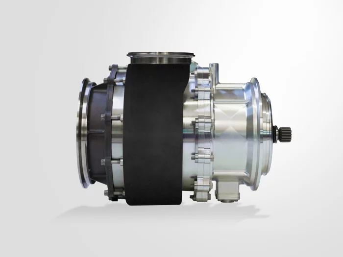
H80
Mechanical Characteristics:
Faster Hob Spindle and Zero Backlash
Builtin Torque Motor for C Axis and Zero Backlash
Both Wet Cutting / Dry Cutting Supported
Application of the High-Speed Ring Loader
Glenair
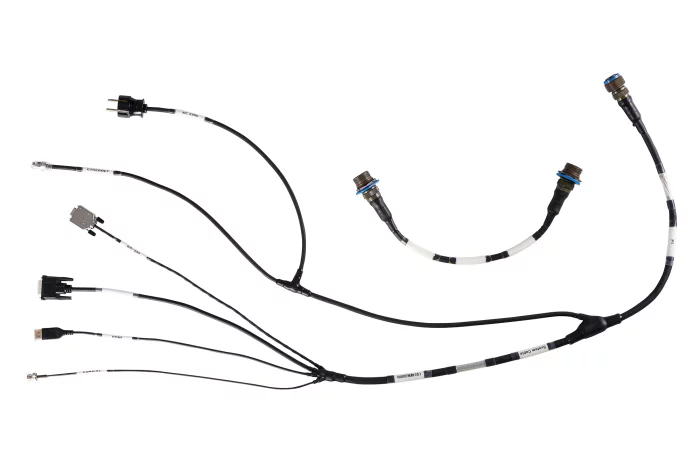
Mission-Driven Interconnect Designs
For Ground, Sea, Air, and Space Application
View page in English


디렉터리 기능
전시회 도우미
In-depth Exhibitor Profiles
Each exhibitor can add as many products and services as they wish, with in-depth information and specifications. This allows buyers to find what they want easily.
Self Provisioning for Exhibitors
Each exhibitor has full control of their content - to edit their company profile, upload products and enter staff details.
방문 계획 수립
북마크 도구와 이벤트 플래너를 사용해 방문하고자 하는 기업과 관심 있는 제품을 검색하세요. 저장한 모든 항목을 조회할 수 있습니다
고급 검색
고급 검색 기능을 사용하여 상품, 인물, 기업의 위치를 빠르게 조회할 수 있습니다. 최첨단 기술을 통해 모든 참가사의 정보를 철저히 스캔하여 세밀하고 관련성 있는 정보를 제공합니다
상호작용 가능 평면도
디렉터리를 사용해 전시회를 손쉽게 둘러보세요. 방문하고자 하는 기업의 위치와, 행사장 내 식당, 화장실, 출입구를 평면도에서 찾을 수 있습니다.
플랫폼 내 메시지
플랫폼 상의 전시 참가사와 관람객에게 직접 연락하여 미팅을 신청하거나 추가 정보를 요청하세요.
최신 콘텐츠
기업, 상품, 뉴스, 이벤트
funzin
KWM-Ocelot
Solution Overview
KWM-Ocelot (AI Electromagnetic Spectrum Reconnaissance System) is a self-developed solution that measures field strength and clearness of 5G/4G base station signals and automatically analyzes abnormal waveforms based on time-series data.
Main Features
Real-time wideband frequency scanning using an RF detector mounted on unmanned complex systems
AI-based signal characteristics and transmitter location analysis
Real-time transmission and visualization of analysis data to ground control stations (GCS) via data link
Identification of locations such as enemy drone and equipment operation areas, and command posts
Effective tracking and jamming of enemy communications
Key Advantages
Automated signal classification and pattern learning based on AI
Real-time visualization of battlefield electromagnetic spectrum distribution
Effective signal detection, analysis, and tracking in various military environments
Fully in-house developed, enabling rapid technological application and operational optimization
Applied Cases
Winner of the Grand Prize (Army Chief of Staff Award) at the 2025 Army Artificial Intelligence Idea Contest
Real-time reconnaissance of battlefield electromagnetic environments and enemy communication tracking in military operations
CTLA
T/FA-50 동력전달축(Power Take-Off Shaft)
T/FA-50 PTO Shaft, The New Standard for Next-Generation High-Speed Rotating Power Transmission
The power transmission shaft (PTO Shaft) applied to the T/FA-50 features in-house designed, optimized flexible couplings that provide excellent durability. In addition, the adoption of high-speed precision balancing technology effectively suppresses vibration and ensures shaft oscillation prevention.
While it shares a similar form with the KF-21 power transmission shaft, the T/FA-50 PTO Shaft incorporates unique, dedicated technology, making it distinct. The system development has been completed, and performance improvements are continuously underway with the goal of localization.
EUCAST
EPL2000 - Portable 4G System (Network in a Box)
The EPL2000 is an all-in-one RU/DU/EPC/application server system that provides seamless outdoor LTE service without network interconnection via backhaul. Portable and deployable in areas inaccessible by vehicles, it is optimized for disaster response and military operations.
IMSAR LLC
NSP-2 - IMSAR
The NSP-2 is designed for integration on Modular-Payload (MP) compliant Unmanned Airborne Systems (UAS), and each unit undergoes thorough testing to ensure its reliability.
Instead of a mechanical gimbal that requires regular maintenance, IMSAR’s NSP-2 uses an innovative 2D Electronically-Scanned Array (ESA) antenna to enable quick scanning in both azimuth and elevation.
The NSP-2 works in the Ku-band using multiple modes, such as Synthetic Aperture Radar (SAR) imaging, Magnitude Change Detection (MCD), and Ground and Maritime Moving Target Indication (MTI) at low altitudes.
Digital Directory