
 Digital Directory
한국어로 페이지 보기
Seoul ADEX 2025 Digital Directory
Plan your trip to Seoul ADEX 2025 using our state of the art Digital Directory
Register in seconds with just your email

Directory Features
To help you at the show
In-depth Exhibitor Profiles
Each exhibitor can add as many products and services as they wish, with in-depth information and specifications. This allows buyers to find what they want easily.
Self Provisioning for Exhibitors
Each exhibitor has full control of their content - to edit their company profile, upload products and enter staff details.
Plan your trip
Use the bookmarking and event planning tool to research the companies you would like to visit and the products you are interested in finding. You will be able to locate all of your saved companies on our floorplan
Advanced Search
Utilize our advanced search function to quickly locate products, people, and companies. Our state-of-the-art technology thoroughly scans all exhibitor information, delivering precise and relevant results
Interactive Floorplan
Navigate the show effortlessly with our directory. Use the floorplan to locate companies you want to visit and to find your way to onsite restaurants, toilets and site entrances and exits.
On-platform Messaging
Reach out to exhibitors and visitors directly on our platform to set up meetings, or request more information.
Some of our latest content
Companies, Products, News, Events

STX Engine
Military Diesel Engine
We, STX Engine, started with our business to be designated as a defense company in 1977 and established a factory for defense purposes in 1988. Moreover, we have grown into a largest defense diesel engine manufacturer by licensing with MTU. Based on the aforementioned fact, we manufacture and provide diesel engines for main battle tank, self-propelled artillery and armored vehicle to ROK Army, for destroyer, frigate, patrol vessel and support vessel to ROK Navy, for patrol vessel to Korea Coast Guard as well.
CTLA
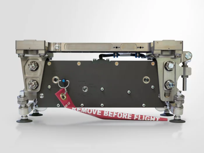
무장장착대(Bomb Rack Unit & Pylon Unit)
The first step toward armed helicopters
The Bomb Rack Unit (BRU) is a device installed on a helicopter’s Stub-wing to mount various armaments such as rocket launchers and air-to-ground missiles, and it consists of a Pylon Unit and a Bomb Rack Unit.
CTLA’s Bomb Rack Unit is equipped with a Boresight function that allows vertical (up/down) and horizontal (left/right) angle adjustments, and a solenoid-actuated free-fall weapon release (Jettison) method is applied.
CTLA’s Bomb Rack Unit has passed the system tests for the Light Armed Helicopter (LAH) and received suitability certification, and it is currently in mass production.
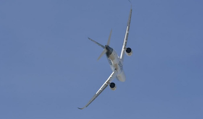
SAFRAN
Flight Physics Services
To reduce aircraft development lead-time, Safran Engineering Services is specialized in quick design and engineering in full autonomy. Teams provide global loads for ground and flight maneuvers, follows the evolution of weight and center of gravity for aircraft components and support sales campaigns with weight & balance evaluation.
 (1)_700.webp)
TAEKYUNG ELEC. Co., LTD.
Transport Drone
Our transport drone is designed for efficient and reliable cargo delivery. With precise and stable flight performance, it supports real-time monitoring of delivery routes and environments through an advanced camera system, ensuring safe and timely operations.
View page in English
디렉터리 기능
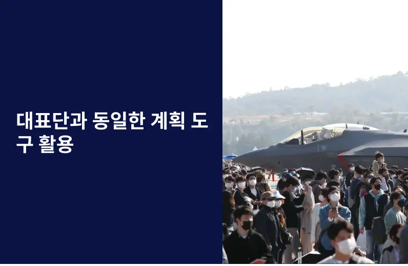
전시회 도우미
In-depth Exhibitor Profiles
Each exhibitor can add as many products and services as they wish, with in-depth information and specifications. This allows buyers to find what they want easily.
Self Provisioning for Exhibitors
Each exhibitor has full control of their content - to edit their company profile, upload products and enter staff details.
방문 계획 수립
북마크 도구와 이벤트 플래너를 사용해 방문하고자 하는 기업과 관심 있는 제품을 검색하세요. 저장한 모든 항목을 조회할 수 있습니다
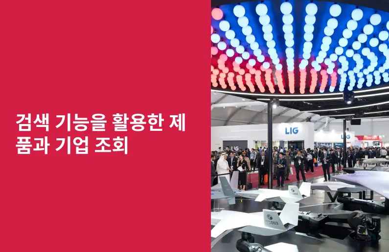
고급 검색
고급 검색 기능을 사용하여 상품, 인물, 기업의 위치를 빠르게 조회할 수 있습니다. 최첨단 기술을 통해 모든 참가사의 정보를 철저히 스캔하여 세밀하고 관련성 있는 정보를 제공합니다
상호작용 가능 평면도
디렉터리를 사용해 전시회를 손쉽게 둘러보세요. 방문하고자 하는 기업의 위치와, 행사장 내 식당, 화장실, 출입구를 평면도에서 찾을 수 있습니다.
플랫폼 내 메시지
플랫폼 상의 전시 참가사와 관람객에게 직접 연락하여 미팅을 신청하거나 추가 정보를 요청하세요.
최신 콘텐츠
기업, 상품, 뉴스, 이벤트
ICEYE
Tasking
GAIN CRITICAL CLARITY WITH SATELLITE TASKING
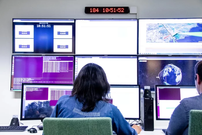
Task ICEYE SAR satellites to access groundbreaking data on any location on Earth – day or night and in any weather. The process is simple and images are usually delivered within 24 to 48 hours of your initial request.
ORDERING SAR DATA – MADE SIMPLE
We believe access to reliable and timely SAR Earth observation data should be available to all, so we provide access options designed to meet your specific mission needs and collection timeframes. The process begins with defining your area of interest, revisit frequency and other parameters. The first images are usually acquired, downlinked, decoded and processed within 24 hours of the initial request and delivered within 8 hours after that.
_700.webp)
Sourcehere
Sourcehere Platform
Sourcehere is a digital platform for connecting buyers and suppliers quickly and easily. Buyers can quickly find suppliers and products in their industry and connect with them from anywhere at any time. For suppliers, Sourcehere offers access to a vast global marketplace through its searchable directory. Even if you are not at the show, our on-platform messaging lets you contact suppliers and representatives directly from anywhere in the world.
_700.webp)
FOSTEC Inc.
Fiber Optic Pin Terminal (MIL-PRF-29504/4D)
FOSTEC optical fiber pin/socket terminals are designed to connect to each other through physical contact. POSTECH's unique alignment technology maximizes optical performance and provides reliability.
Sangdo Electronics co.,Ltd
Nebula Series
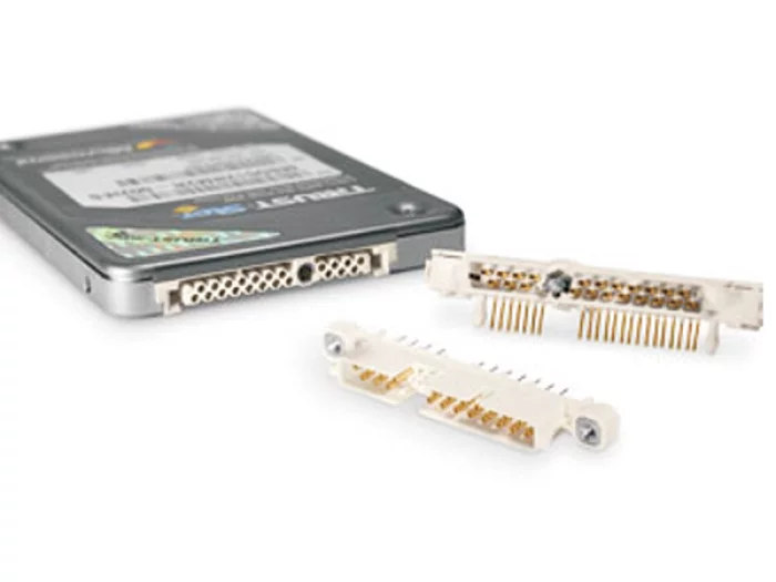
The Nebula connector employs the renowned Hypertac hyperboloid contacts as the bedrock of its high reliability providing immunity to shock and vibration fretting and over 100,000 mating cycles. These features combine with current carrying capacity up to 1.5 Amps per contact and low insertion / extraction forces to provide significantly enhanced quality and reliability performance compared with other more commodity connector solutions.
Available for direct mounting to PCB, the Nebula Series supports independent function for all its 22 contacts. It also offers optional quarter-turn locking hardware for faster connector securing and to prevent unintentional separation.