
 Digital Directory
한국어로 페이지 보기
Seoul ADEX 2025 Digital Directory
Plan your trip to Seoul ADEX 2025 using our state of the art Digital Directory
Register in seconds with just your email

Directory Features
To help you at the show
In-depth Exhibitor Profiles
Each exhibitor can add as many products and services as they wish, with in-depth information and specifications. This allows buyers to find what they want easily.
Self Provisioning for Exhibitors
Each exhibitor has full control of their content - to edit their company profile, upload products and enter staff details.
Plan your trip
Use the bookmarking and event planning tool to research the companies you would like to visit and the products you are interested in finding. You will be able to locate all of your saved companies on our floorplan
Advanced Search
Utilize our advanced search function to quickly locate products, people, and companies. Our state-of-the-art technology thoroughly scans all exhibitor information, delivering precise and relevant results
Interactive Floorplan
Navigate the show effortlessly with our directory. Use the floorplan to locate companies you want to visit and to find your way to onsite restaurants, toilets and site entrances and exits.
On-platform Messaging
Reach out to exhibitors and visitors directly on our platform to set up meetings, or request more information.
Some of our latest content
Companies, Products, News, Events
HANMI HYDRAULIC MACHINERY CO., LTD.
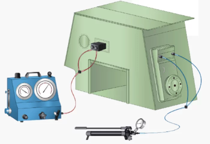
Main engine hydraulic tools package(Pump, Jack, Hose, Coupler)
This hydraulic tool package product is an ultra-high-pressure tool product used to assemble and disassemble major parts that make up the engine, and has been supplied to domestic and overseas engine customers since our foundation. The composition consists of a hydraulic pump, a hydraulic jack, a hydraulic hose, and a coupler, and supplies one package per ship. The product model can be selected according to the required pressure for each engine type and model.
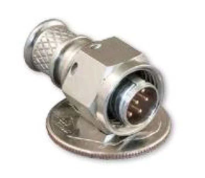
Glenair
Mighty Mouse
The world’s most advanced and mature high-performance ultraminiature connectors, the Series 80 Mighty Mouse matches the electrical and mechanical performance of popular mil-standard connectors, but in a smaller and lighter package for tactical military, aerospace, and soldier-worn electronics. Series 804 Quick-Disconnect and Series 824 Locking Push-Pull versions offer environmental sealing and rugged design in a lightweight, push-pull package used for headsets, radios, weapons and other applications. Series 806 meets D38999 performance meeting immersion requirements and provide excellent durability, sealing, and EMI shielding at just half the size and weight of D38999. Series 811 is even higher density in the same shell size offerings. There are now over 150 insert arrangements covering the spectrum of systems requirements. The high-performance Mighty Mouse is now specified on hundreds of mission-critical soldier and mil/aero applications worldwide and continuing to add more....
_700.webp)
Arion Communication Co., Ltd.
TYTO 6
The device consists of a power supply, dedicated Iridium and GNSS antenna, BLE, three configurable inputs/outputs, RS232, and CANbus in an environmentally sealed enclosure. Includes an Iridium Short Burst Data (SBD) modem that allows remote devices to send and receive satellite messages from anywhere in the world.
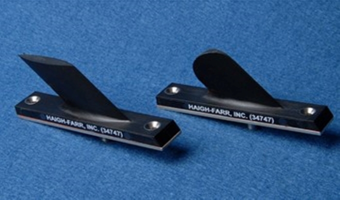
Haigh-Farr, Inc.
Non-Conformal Antennas
Haigh-Farr offers a family of low-cost Blade antennas covering frequencies from 300 MHz to 8 GHz. These antennas have been in use for over 30 years in airborne applications, and most models are available for off-the-shelf delivery. Haigh-Farr also offers a series of broadband blade antennas covering a variety of frequency ranges.
View page in English

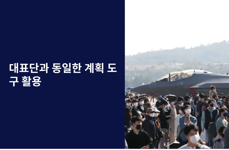
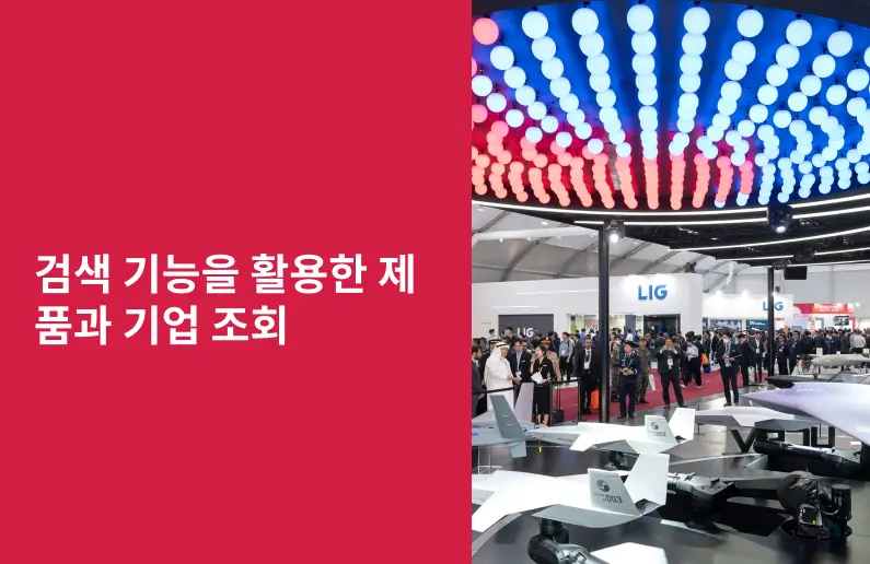
디렉터리 기능
전시회 도우미
In-depth Exhibitor Profiles
Each exhibitor can add as many products and services as they wish, with in-depth information and specifications. This allows buyers to find what they want easily.
Self Provisioning for Exhibitors
Each exhibitor has full control of their content - to edit their company profile, upload products and enter staff details.
방문 계획 수립
북마크 도구와 이벤트 플래너를 사용해 방문하고자 하는 기업과 관심 있는 제품을 검색하세요. 저장한 모든 항목을 조회할 수 있습니다
고급 검색
고급 검색 기능을 사용하여 상품, 인물, 기업의 위치를 빠르게 조회할 수 있습니다. 최첨단 기술을 통해 모든 참가사의 정보를 철저히 스캔하여 세밀하고 관련성 있는 정보를 제공합니다
상호작용 가능 평면도
디렉터리를 사용해 전시회를 손쉽게 둘러보세요. 방문하고자 하는 기업의 위치와, 행사장 내 식당, 화장실, 출입구를 평면도에서 찾을 수 있습니다.
플랫폼 내 메시지
플랫폼 상의 전시 참가사와 관람객에게 직접 연락하여 미팅을 신청하거나 추가 정보를 요청하세요.
최신 콘텐츠
기업, 상품, 뉴스, 이벤트

GIFAS
Environment
Confronting climate change, designing quieter and more efficient airplanes, developing innovative satellites to observe the Earth's system: our sector is using its skills to their utmost to take action for the environment. Our two main objectives are to advance our technologies so that we can better observe our planet and to create sustainable air travel.

Wilko Aero
Rotary Wing Aircraft
Main Fuel Control, Servovalve, Switches, Indicators, Starter Generator, Power Unit, Gas Turbine, Control Unit, Ice Detector, Blade, Advanced Flight Control Computer, Manifold Assembly, Main Battery, Ring Bearing, Power Supply, Motor, Sensors
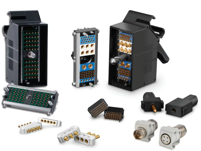
Sangdo Electronics co.,Ltd
L Series
The L Series comes with frames in various lengths to accommodate a variety of module combinations. The frames range from a basic frame with just 2 side rails and 2 end caps, to more complex versions with jackscrews, backshells, cable clamps, etc.
 (1)_700.webp)
Wedps
전기식 히터 조립체(Heater Assembly)
1. 용도 : 전자제어기로부터 공급되는 전력으로 빠르게 가열하는 장치
2. 기능 : 8,200 Kcal/hr(차체 특성에 따른 난방효율 최적화 설계, 운용간 안정성 확보)
3. 관련 장비/체계 분야 : 단거리지대공무기(천마)
4. 관심 협업 분야 / 목표시장(국가)
- 전차ㆍ장갑차 그 밖의 전투기동장비 / 국내 방위산업시장 및 해외
(미국, 멕시코, 프랑스, 이스라엘, 인도네시아, 말레이시아, 아랍에미리트, 유엔국 등)
5. 기타사
- 영구자석 기반 발전기 기술 및 고효율 에너지변환 기술(특허보유)
- 국방규격화 완료, 해외수출 경쟁력 제품